Site at Aguada Fénix found using lidar aerial laser technology
Vast earth platform exceeds volume of Great Pyramid of Giza
Reuters in Washington
Wed 3 Jun 2020 12.04 EDT

Unlike later structures such as Dzibilchaltun, in Yucatán state, the newly discovered structure at Aguada Fénix, Mexico, was not built of stone, but rather of clay and earth. Photograph: Hugo Borges/AFP/Getty Images
Scientists using an aerial remote-sensing method have discovered the largest and oldest-known structure built by the ancient Maya civilization – a colossal rectangular elevated platform built between 1000 and 800BC in Mexico’s Tabasco state.
The structure, unlike the soaring Maya pyramids at cities like Tikal in Guatemala and Palenque in Mexico erected some 1,500 years later, was not built of stone but rather of clay and earth, and was probably used for mass rituals, researchers said on Wednesday.
Located at a site called Aguada Fénix near the Guatemalan border, the structure measured nearly a quarter-mile (400 meters) wide and nine-tenths of a mile (1,400 meters) long and stood 33 to 50 ft (10 to 15 meters) high. In total volume, it exceeded ancient Egypt’s Great Pyramid of Giza built 1,500 years earlier.
There were no signs of sculptures depicting high-status individuals, suggesting Maya culture at this early stage was more communal and only later developed social inequality and a hierarchical society led by royalty, the researchers said.
More:
https://www.theguardian.com/science/2020/jun/03/maya-structure-discovered-mexico-lidar-aguada-fenix
~ ~ ~
Older article from different location:
This article is more than 2 years old
Laser scanning reveals 'lost' ancient Mexican city 'had as many buildings as Manhattan'
This article is more than 2 years old
Groundbreaking lidar scanning reveals the true scale of Angamuco, built by the Purépecha from about 900AD
Nicola Davis in Austin
@NicolaKSDavis
Thu 15 Feb 2018 11.00 EST
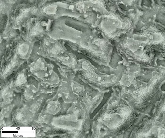
One of Angamuco’s ‘neighbourhoods’, revealed using light detection and ranging scanning. Photograph: C Fisher
Archaeology might evoke thoughts of intrepid explorers and painstaking digging, but in fact researchers say it is a high-tech laser mapping technique that is rewriting the textbooks at an unprecedented rate.
The approach, known as light detection and ranging scanning (lidar) involves directing a rapid succession of laser pulses at the ground from an aircraft.
The time and wavelength of the pulses reflected by the surface are combined with GPS and other data to produce a precise, three-dimensional map of the landscape. Crucially, the technique probes beneath foliage – useful for areas where vegetation is dense.
Earlier this month researchers revealed it had been used to discover an ancient Mayan city within the dense jungles of Guatemala, while it has also helped archaeologists to map the city of Caracol – another Mayan metropolis.
Now, researchers have used the technique to reveal the full extent of an ancient city in western Mexico, about a half an hour’s drive from Morelia, built by rivals to the Aztecs.
“To think that this massive city existed in the heartland of Mexico for all this time and nobody knew it was there is kind of amazing,” said Chris Fisher, an archaeologist at Colorado State University who is presenting the latest findings from the study at the conference of the American Association for the Advancement of Science in Austin, Texas, this week.
While less well known than the Aztecs, the Purépecha were a major civilisation in central Mexico in the early 16th century, before Europeans arrived and wreaked havoc through war and disease. Purépecha cities included an imperial capital called Tzintzuntzan that lies on the edge of Lake Pátzcuaro in western Mexico, an area in which modern Purépecha communities still live.
More:
https://www.theguardian.com/science/2018/feb/15/laser-scanning-reveals-lost-ancient-mexican-city-had-as-many-buildings-as-manhattan

 = new reply since forum marked as read